PoDIUM
PoDIUM will identify and assess the connectivity and cooperation enablers to reach higher levels of automation and advance important Physical and Digital Infrastructure (PDI) technologies, through a multi-connectivity approach and an interoperable and hybrid data management environment.
MODI
The overall objective of MODI is to accelerate the introduction of connected, cooperative and automated mobility (CCAM) vehicles for logistics by demonstrations and to overcome barriers for the roll-out of automated transport systems and solutions in logistics.
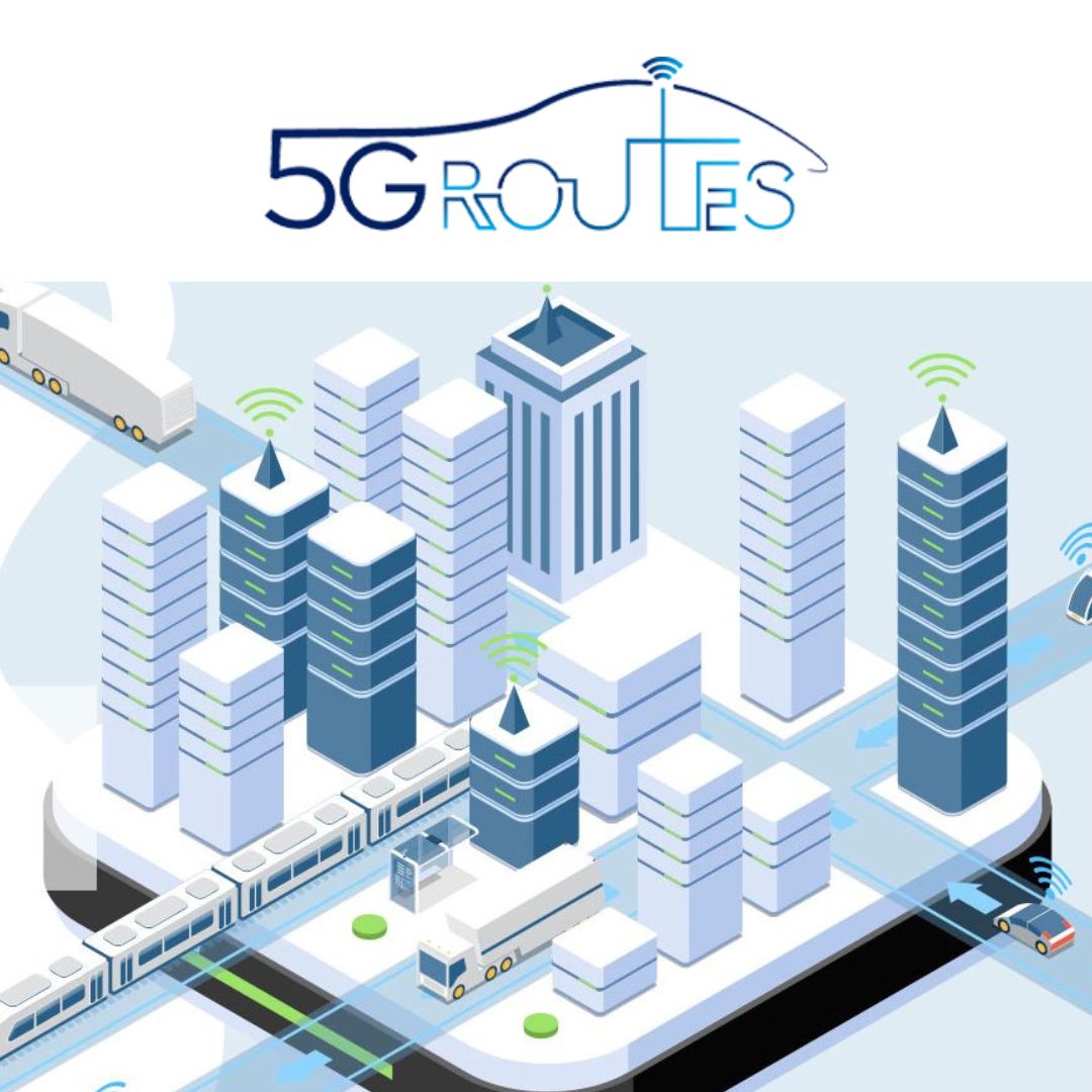
5G Routes
Validates the latest 5G features and 3GPP specifications of Connected and Automated Mobility (CAM) under realistic conditions in field trials on the 5G cross-border corridor (Via Baltica-North), traversing Latvia, Estonia and Finland. This will help to boost confidence and accelerate the deployment of 5G-based interoperable CAM ecosystems and services throughout Europe.