GAMMS

Galileo/GNSS-Based Autonomous Mobile Mapping System
-
Grant Agreement number 101004255
30 months
July 2021 to December 2023
The challenge
The solution
GAMMS is a Horizon2020 project enabling the exploitation of space data for surveying and mapping. Our objective is to develop an autonomous terrestrial mobile mapping system (AMMS), based on the tight integration of autonomous vehicle (AV), navigation/geodetic, and artificial intelligence (AI) technologies. More specifically, we are developing:
- a mapping robot for geodata acquisition
- an AI-based highly automated mapping software to produce HD maps from the MMS remote sensing data.
The overall objective of GAMMS is to develop an autonomous terrestrial mobile mapping system (AMMS), based on the tight integration of:
- Objective 1
- Objective 2
- Objective 3
Autonomous vehicles (AVs)
Navigation/geodetics
Artificial Intelligence (AI) technologies
More specifically, we aim at developing an advanced prototype (TRL 6 to 7) of an autonomous terrestrial mobile mapping system –a mapping robot– based on an already existing Level of Automation 4 (LoA-41) AV for cm-level accurate and certifiable mapping to serve the needs of High Definition (HD) maps for autonomous vehicles.
Outcomes: Key results
Our result is the production of high-definition, multi-purpose and accurate maps in a much faster and cheaper way than today.
- Ultra-Safe Navigation
- High-Accuracy Trajectory Determination
- Certifiable And Traceable
- Affordable And Frequently Updated
- D1.2 Communication strategy plan and report
- D1.3 Communications kit
- D7.1 Business Models
- D7.3 Dissemination and Exploitation Plan
Role of Enide
- Market Interaction
- Business Model
- Commercialisation
Services related to the role
- Marketing and communication strategy
- C&D consulting/strategy development
- Marketing analysis
- Regulatory framework analysis
- Business Plan Development
Inpercept
The objective is to develop sustainable and egalitarian mobility supported by technology. The project aims to limit human driving and control capabilities and improve traffic capacity and conditions by designing, developing and implementing key technologies capable of moving driving towards more and more automation.
ESRIUM
Fosters safer and more efficient roads towards a smarter, safer, greener transport system through an ENGSS-based digital map. ESRIUM digital map of road damages and safety risks will allow for route adjustments through I2V communication free of charge leading CAV drivers to a more balanced use of the road surface and to a longer lifetime of the road infrastructure.
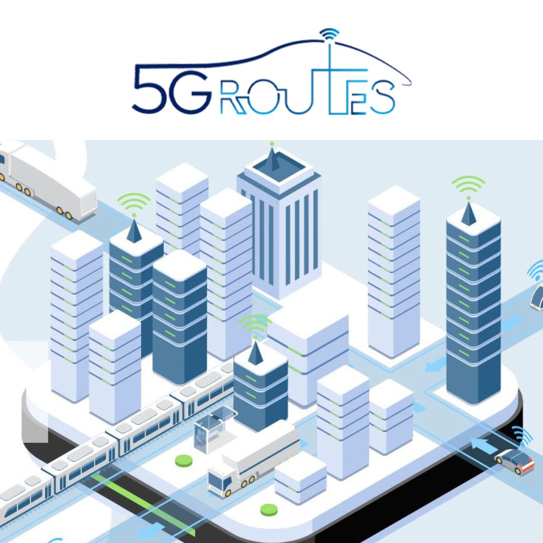
5G Routes
Validates the latest 5G features and 3GPP specifications of Connected and Automated Mobility (CAM) under realistic conditions in field trials on the 5G cross-border corridor (Via Baltica-North), traversing Latvia, Estonia and Finland. This will help to boost confidence and accelerate the deployment of 5G-based interoperable CAM ecosystems and services throughout Europe.